
Canada’s east coast dealt with blizzard like conditions on Monday with another storm expected in a day. Meanwhile across the country the west coast got hammered by heavy rain and snow. Environment Canada discouraged non-essential travel.
EAST COAST
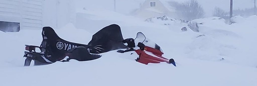
Eastern Newfoundland was walloped by the first major winter storm of the year. On Monday morning, Environment Canada issued storm warnings and special weather statements for the St. John’s region and areas north along the coast up to Gander. Gander’s warning was lifted by around 11 a.m.
Heavy snow, along with maximum wind gusts of 100 km per hour, made for treacherous driving conditions in some areas.
“Much of the eastern half of the island got a pretty snowy wakeup this morning, that’s for sure,” Environment Canada meteorologist David Neil said from Gander.
St. John’s was the high mark for snowfall, Neil said, with the city’s airport recording 40 cm of snowfall since Sunday afternoon.
Gander had recorded 19 cm of snow by Monday morning, he added , with an estimated 28 cm at Terra Nova National Park and about 30 cm recorded in Bonavista.
Strong northeasterly winds accompanied the snowfall, contributing to poor visibility and drifting snow, Neil said.
Newfoundland Power was dealing with a number of outages Monday, primarily in the St. John’s area but also in the vicinities of Mount Pearl, North East Avalon, Southern Shore, Burin Peninsula, Conception Bay North and Cape Shore.
Air travellers, as well as those planning to use ferries, were advised check the status of their flights and sailings before heading out.
Relief as the snowfall tapered off Monday morning may be short-lived, with another developing storm expected to hit the island with more snow on Wednesday evening, Neil said.
WEST COAST
Most of the southern quarter of British Columbia was lashed by a round of rain, snow or winter storms.
Environment Canada posted weather warnings from the east coast of Vancouver Island all the way to the southeastern corner of the province, while winter storm watches were in effect for a large section of the southeast Interior and the Elk Valley.
Rainfall warnings were up for parts of Vancouver Island and the inner south coast, including Metro Vancouver, the Fraser Valley and Howe Sound.
The weather office said up to 90 mm of rain could cause localized flooding in low-lying areas before the system passes Tuesday.
Elsewhere, winter storm and snowfall warnings call for as much as 30 cm of snow over most of the Whistler area and southern Interior, including the Sea-to-Sky corridor and mountain passes of the Coquihalla and Trans-Canada highways, as well as Highway 3.
Snow is not expected to relent until early Wednesday but Avalanche Canada’s website shows the risk of a slide has decreased over most of B.C., although it is ranked as high for sections of mountains across the Sea-to-Sky region and south coast.
A snowmobiler died Saturday in an avalanche near Merritt, bringing the number of avalanche deaths in the province to three in the last week. Two young snowboarders from Alaska died last Monday in a slide in the extreme northwest corner of the province.