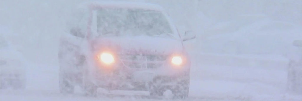
The storm that snarled Thanksgiving travel across much of the US brought a messy mixture of rain, snow, sleet and wind to the East, and cancelling or delaying hundreds of flights on both sides of the border. Toronto Pearson announced delays and cancellations for both departing and arriving flights on Monday, as a result of the heavy snowfall Sunday and overnight, with delays of several hours for flights arriving at the airport from New York, Chicago, Montreal, and other locations on the east coast.
At least a quarter of the flights from Pearson were delayed, and another 30 arriving flights were cancelled on Monday. Montreal’s Trudeau airport had a number of cancellations and delayed flights Monday and Ottawa airport had delayed flights as well.
ATLANTIC CANADA
Environment Canada issued warnings and special weather statements for most of Atlantic Canada, saying a “messy mix of wintry weather” is on the way.
Snowfall and freezing rain warnings have been issued for all of New Brunswick, except the province’s southeastern edge.
Heavy snow, freezing rain and ice pellets are in the forecast from Tuesday morning until Tuesday night, spreading from the south to the north through the day, with flurries lingering until Wednesday night.
In Nova Scotia and P.E.I., Environment Canada is calling for a mix of snow and rain over the next three days, with the precipitation spreading slowly northward and eastward across the two provinces into Monday evening.
Areas near Nova Scotia’s Atlantic coast can expect rain, with periods of heavy rain on Tuesday, while inland areas of the province and the Annapolis Valley could receive a prolonged period of freezing rain or ice pellets into Tuesday morning.
Most of Newfoundland and Labrador can expect freezing rain, ice pellets and snow in western regions on Tuesday.
EASTERN USA
The nor’easter was expected to drop up to 50 cm (20 inches) of snow by Tuesday morning from Pennsylvania to Maine, forecasters said. Heavy snow was possible in the Appalachian Mountains down to Tennessee and North Carolina.
Inland areas appeared to be in for the biggest snowfall, with the forecast in Albany, New York, predicting up to 35 cm (14 inches). Closer to the heavily populated, coastal Interstate 95 corridor, a wintry mix was more likely.
Only 7.5 cm (3 inches) of snow was forecast for New York City and 12.5 cm (5 inches) for Philadelphia. Up to 23 cm (9 inches), though, was possible in Boston by Tuesday night.
More than 200 flights into or out of the US were cancelled Monday morning, with more than 700 delays. Airports in the New York and Boston areas accounted for many of them.
Many buses from New York City to Pennsylvania and upstate destinations such as Ithaca and Binghamton were cancelled.
The National Park Service said parts of the Blue Ridge Parkway in North Carolina and U.S. 441 through Great Smoky Mountains National Park have been closed because of heavy snow predictions.
The Charlotte Observer reports the agency announced the closures Monday citing hazardous travelling conditions and strong wind gusts that could knock down branches and powerlines.
The agency says most of the parkway is forecast to receive anywhere from a dusting to more than 12 inches (30 centimetres) of snow Monday through Tuesday morning.
Snowfall started sticking along the North Carolina-Tennessee border about 7 a.m. Monday.
A winter storm warning and wind advisory were issued for western North Carolina through 7 a.m. Tuesday, with temperatures expected to fall to 28 degrees (-2 Celsius) Monday night.

