

Unprecedented ocean heat and a brewing La Nina has experts warning of an “ominous” Atlantic hurricane season – set to officially start June 1 – that will be one of the busiest on record. In its annual outlook, released late last week, the US National Oceanic and Atmospheric Administration predicted between 17 and 25 named storms will brew up this summer and fall, with eight to 13 achieving hurricane status and four to seven of them becoming major hurricanes.
An average Atlantic hurricane season produces 14 named storms, seven of them hurricanes and three major hurricanes.
“This season is looking to be an extraordinary one in a number of ways,” NOAA Administrator Rick Spinrad said. He said this forecast is the busiest in the 25 years that NOAA has been issuing in May. The agency updates its forecasts each August.
About 20 other groups – universities, other governments, private weather companies – also have made seasonal forecasts. All but two expect a busier, nastier summer and fall for hurricanes. The average of those other forecasts is about 11 hurricanes, or about 50% more than in a normal year.
“All the ingredients are definitely in place to have an active season,” National Weather Service Director Ken Graham said. “It’s a reason to be concerned, of course, but not alarmed.”
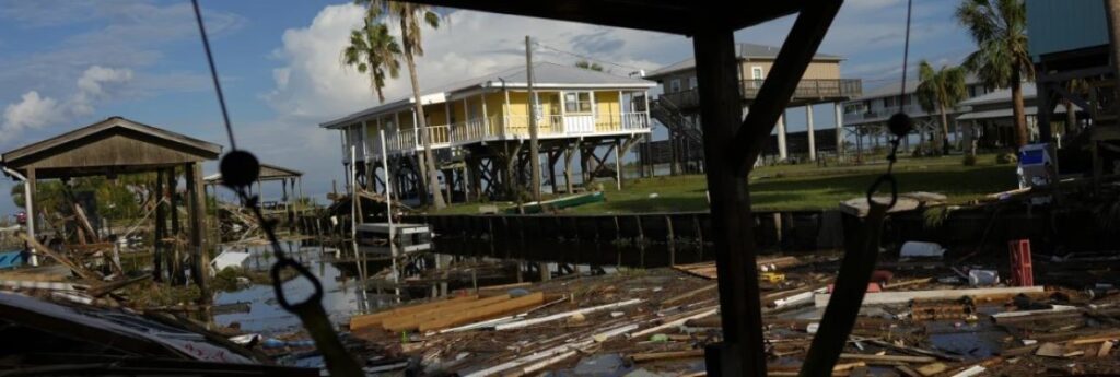
What people should be most concerned about is water because 90% of hurricane deaths are in water and they are preventable, he said.
When meteorologists look at how busy a hurricane season is, two factors matter most: ocean temperatures in the Atlantic where storms spin up and need warm water for fuel, and whether there is a La Nina or El Nino, the natural and periodic cooling or warming of Pacific Ocean waters that changes weather patterns worldwide. A La Nina tends to turbocharge Atlantic storm activity while depressing storminess in the Pacific and an El Nino does the opposite.
La Nina usually reduces high-altitude winds that can decapitate hurricanes, and generally during a La Nina there’s more instability or storminess in the atmosphere, which can seed hurricane development. Storms get their energy from hot water. Ocean waters have been record warm for 13 months in a row and a La Nina is forecast to arrive by mid to late summer. The current El Nino is dwindling and is expected to be gone within a month or so.
“We’ve never had a La Nina combined with ocean temperatures this warm in recorded history so that’s a little ominous,” said University of Miami tropical meteorology researcher Brian McNoldy.
This May, ocean heat in the main area where hurricanes develop has been as high as it usually is in mid-August. “That’s crazy,” McNoldy said. It’s both record warm on the ocean surface and at depths, which “is looking a little scary.”
He said he wouldn’t be surprised to see storms earlier than normal this year as a result. Peak hurricane season usually is mid-August to mid-October with the official season starting June 1 and ending Nov. 30.
A year ago, the two factors were opposing each other. Instead of a La Nina, there was a strong El Nino, which usually inhibits storminess a bit. Experts said at the time they weren’t sure which of those factors would win out.
Warm water won. Last year had 20 named storms, the fourth-highest since 1950 and far more than the average of 14. An overall measurement of strength, duration and frequency of storms had last season at 17% bigger than normal.
Record hot water seems to be key, McNoldy said, adding, things really went of the rails last spring (2023) and they haven’t gotten back to the rails since then,” McNoldy said.
Seven of the last 10 Atlantic hurricane seasons have been more active than the long-term normal.