


Tropical storm warnings are in effect for Puerto Rico, the U.S. and British Virgin Islands, Antigua, Barbuda, Anguilla, St. Kitts, Nevis, Montserrat, Guadeloupe, St. Martin, St. Barts and St. Maarten. The National Hurricane Center said a disturbance in the Atlantic is expected to become a tropical depression late Monday before strengthening into a tropical storm as it approaches the northeast Caribbean.
Officials in the French Caribbean said the disturbance is expected to drench Guadeloupe on Monday and pass near St. Barts and St. Martin. The National Hurricane Center said the disturbance is forecast to approach Puerto Rico and the U.S. and British Virgin Islands on Tuesday evening.
Puerto Rico activated the National Guard on Monday and cancelled the start of classes in public schools.
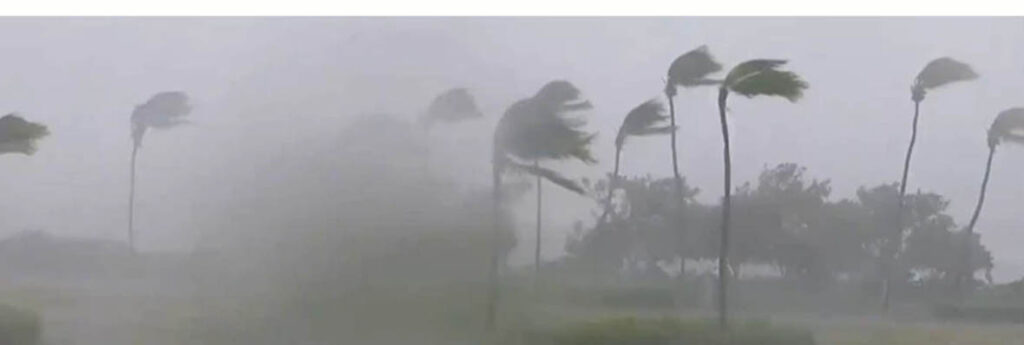
Forecasters warned the system is expected to unleash floods and landslides.
Ernesto Morales, with the National Weather Service in San Juan, said between six to eight inches of rain are expected, with higher amounts in isolated areas. He also warned of hurricane-strength wind gusts as the storm is expected to hit northeast Puerto Rico and move across the US territory late Tuesday and early Wednesday.
He urged people to prepare and stay alert given ongoing uncertainties over the approaching system.
“This trajectory is not written in stone and will be changing,” he said.
In the neighboring U.S. Virgin Islands, Gov. Albert Bryan Jr. urged people to take the storm seriously.
“This is a practice run to make sure we’re really prepared,” he said, noting that the peak of hurricane season is yet to come.
The disturbance is slated to become Ernesto, the fifth named storm of the Atlantic hurricane season.
It is expected to become a hurricane early Thursday as it turns north toward Bermuda, with some forecasters warning it could strengthen into a major Category 3 storm.
The disturbance is located about 700 kilometers (435 miles) east-southeast of Antigua. It has maximum sustained winds of 55 kph (35 mph) and is moving west at 43 kph (26 mph).
The National Oceanic and Atmospheric Administration has predicted an above-average Atlantic hurricane season for 2024 because of record warm ocean temperatures. It has forecast 17 to 25 named storms, with four to seven major hurricanes of Category 3 or higher.